Land restitution
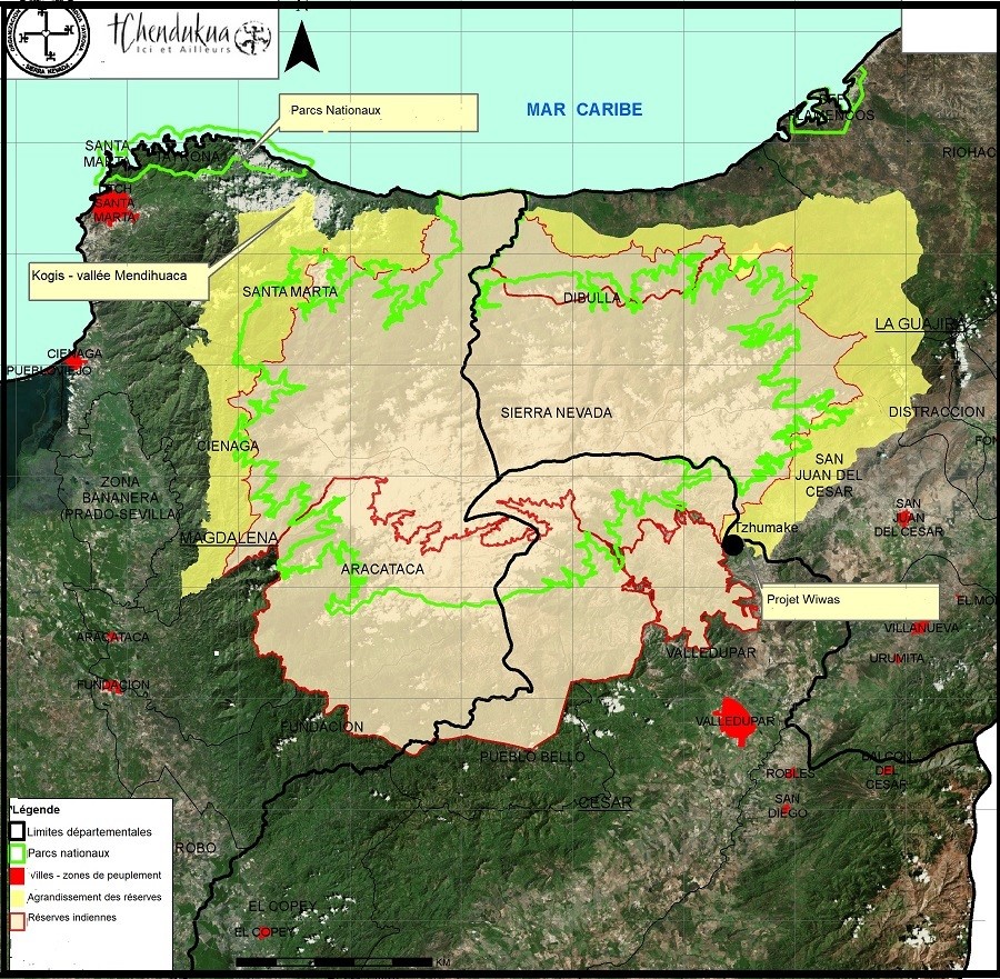
Between 1997 and 2023, more than 2,500 hectares were repurchased and returned, following a rigorous process that included phases of field surveys, mapping, commercial valuation, the drafting of notarised deeds, and administrative registrations in collaboration with the Colombian authorities and the traditional Kogi authorities. Nearly 60 families have been able to resettle on their ancestral lands, and nearly 1,200 hectares of forest have been regenerated. This involves either expanding indigenous reserves or regularising the status of land located within reserves but owned by non-indigenous people.
Mendihuaca
Most of the land purchases made are concentrated in the Mendihuaca Valley. The aim is to attempt to re-establish the territorial continuity necessary for the Kogis to sustain their semi-nomadic culture, which is structured around the different climatic zones of the Sierra Nevada.
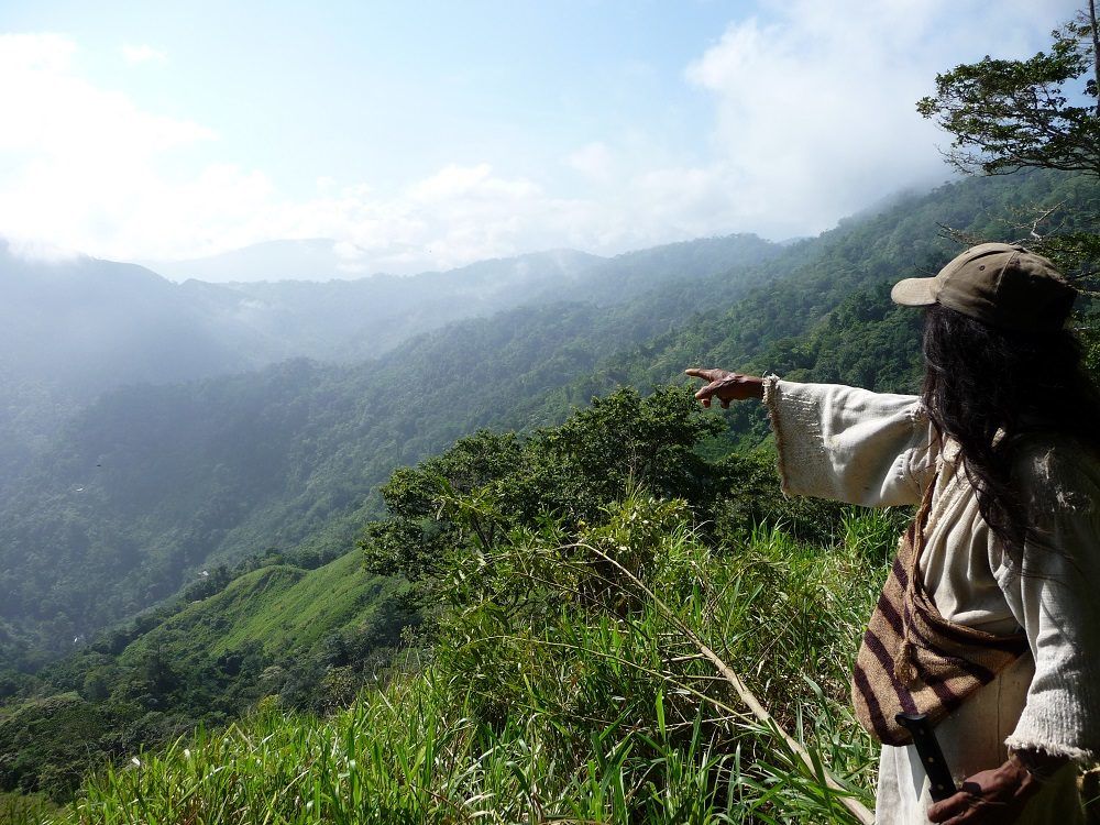
This valley, once a grain-growing valley of the pre-Columbian Tayrona civilisation, ancestors of the Kogis, is home to a multitude of little-known sacred sites, some of which are scarcely or not at all documented. With its remarkable biodiversity, its steep terrain facing the trade winds makes it a water tower for all the region’s inhabitants. It is a valley whose incredible biodiversity must be preserved as a matter of urgency, given that deforestation now covers 72% of the Sierra’s total area.
In this valley, more than 1,050 hectares have already been restored, organised around three specific geographical areas: the lower part of the valley (200–500 metres), where a ‘talanquera’ (border) village has been established to try to limit the massive and uncontrolled influx of tourism; the upper valley (1,000–1,600 metres), also to limit access to Kogi territories; and the central area of the valley, which features a forested zone and flat areas of particular interest to the Kogi, with a view to re-establishing one of their main villages.
Kalentukua: Land located within the RKMA reserve, outside the Mendihuaca Valley
Purchased in 2016, the legal acquisition of this land was a strategic priority for the Kogi community. Located within the boundaries of the official indigenous reserves, a Kogi community had already been settled there since 2014, but without a title deed. Situated within the municipality of Rioacha (department of La Guajira), it covers an area of 130 hectares.
Wiwa Lands
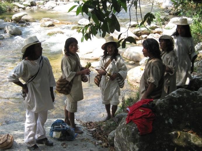
Following the agreements reached between the Wiwa – a people closely related to the Kogi – and Tchendukua-Ici et Ailleurs in December 2017, the purchase in 2018 of 185 hectares of land for the benefit of the Wiwa is the first result of this partnership. On their own initiative, the Wiwa people themselves co-financed this operation.
Wiwa Saga
The revival of a pre-Columbian city and the land known as the 'petroglyphs'
Situated in the heart of the high valleys of the Sierra, the land known as “the land of petroglyphs” is home to a series of terraces and stone staircases which still bear witness today to the grandeur of the extraordinary Tayrona civilisation. For Tchendukua – Ici et Ailleurs, the aim is not only to seek to purchase and return this timeless site to the Kogi community, but also, and above all, to support its spiritual leaders so that they may reawaken this “memory” of ancient times. A unique case in the world where a pre-Columbian society still functioning and bearing a living culture could revive one of its ancestors’ sites.
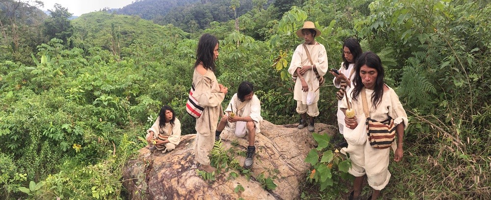
The sites on which their cities were built were never chosen at random but rather on the basis of a set of precise information, reflecting the ‘spirit of the place’, whether it concerned watercourses, exposure to the sun, healthy or dangerous areas, particularly with regard to yellow fever, and, of course, the spiritual work incumbent upon the ‘naomas’, undoubtedly the ancestors of today’s mamas. It is at the confluence of two turbulent watercourses, on the steep spur of a valley slope, that a group of platforms has been located, which seems to dominate the valley, like the prow of an ancient stone vessel above an ocean of forests. From this terrace, a stone staircase with immense steps descends towards the raging torrents that can be glimpsed below. The impression is striking. One cannot help but imagine what life might have been like for the inhabitants of this city, in the folds of this remote valley, where the power of life unfolds in a teeming and still-intact biodiversity.
At the bottom of the staircase, as if placed there by a giant’s hand, lies a cluster of stones covered in carvings and other ‘petroglyphs’. What are these carvings, and what do they depict? Were they created by the Tayronas? Or by another pre-Columbian society? Later on? By other, even older societies? Can today’s Mamas and Sagas still decipher, or more accurately, connect with this place and its mysteries?
“We are only at the beginning of our investigations. In fact, we know very little about these cities, their role or how they functioned. All the work remains to be done.”
Luisa Fernanda HERRERA
Anthropologist, Colombian Institute of Anthropology
Sierra Nevada de Santa Marta - Areas of intervention